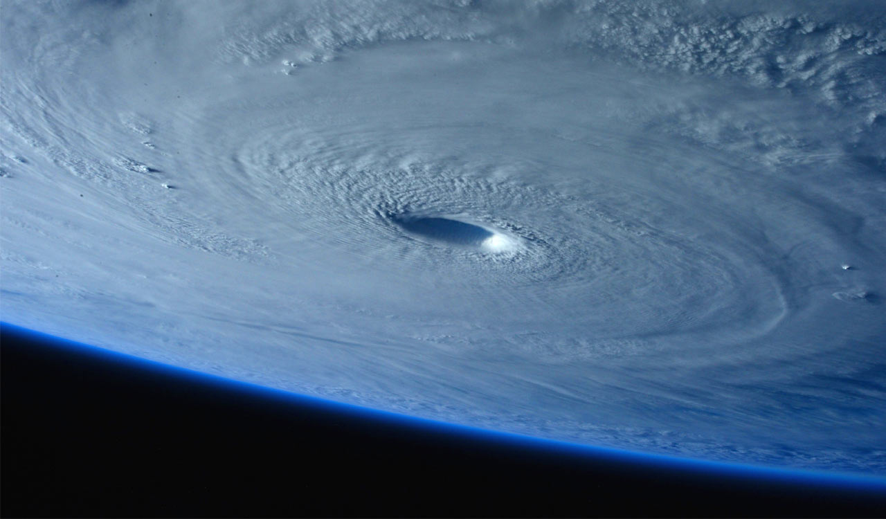
The ocean does not issue warnings. It simply gathers energy. For the residents of the Andhra Pradesh and Odisha coasts, that gathering has a specific name right now: a low-pressure area. It is a phrase that sounds clinical, almost bureaucratic, but in the context of the Bay of Bengal, it represents the raw, unrefined potential of a weather system that is about to make its intentions known. The story of this particular system is one of slow escalation, tracked by the Meteorological Department with a precision that underscores both the science of atmospheric dynamics and the urgency of human preparation.

It begins in the water. A low-pressure area has formed over the east-central and adjoining southeast Bay of Bengal. This is not the start of a violent event, but rather the gathering of forces. In meteorological terms, a low-pressure area is a region where the atmospheric pressure is lower than the surrounding areas, causing air to rise and clouds to form. It is the raw material from which storms are forged. For the moment, it is an area of disturbed weather, a patch of the ocean that is behaving differently from its neighbors. The Meteorological Department has identified this specific formation and is watching it closely, knowing that the Bay of Bengal is one of the most active areas for tropical systems in the world.
The first stage of development is already scheduled. By October 24, the low-pressure area is expected to intensify into a depression. This is a significant step. A depression is no longer just a random patch of low air; it is an organized system with a defined center and circular airflow. It is the moment when the weather pattern becomes a distinct entity. For coastal communities, this is when the first signs of increased wind and rain typically begin to appear, a precursor to the heavier weather that will follow. The transition marks the point where the system earns a name in the broader weather tracking lexicon, moving from an anonymous area to a tracked phenomenon.
It is a warning that the system is gaining energy, likely fueled by the warm waters of the Bay of Bengal.
The next day, October 25, brings the second major leap in intensity. The system is projected to become a deep depression. The word “deep” here is relative, referring to the depth of the pressure deficit at the center of the storm; the lower the pressure, the stronger the storm. This intensification means the winds will become considerably stronger, and the rain bands will tighten and become more organized. It is a warning that the system is gaining energy, likely fueled by the warm waters of the Bay of Bengal. For the Andhra Pradesh State Disaster Management Authority, this is the day when the alert status begins to shift from information to action.
The climax of this initial trajectory arrives on October 26. By this time, the system is expected to have intensified into a cyclonic storm. This is the threshold where the system is officially classified as a cyclone, with sustained winds that pose a direct threat to structures and life. The timing of this intensification is critical. The Meteorological Department predicts that this storm will move towards the north Andhra Pradesh and south Odisha coasts. This path suggests a landfall or a close brush with these specific regions, focusing the impact on a particular stretch of coastline rather than the entire eastern seaboard of India.
As the system moves toward the coast, it brings more than just wind. The Andhra Pradesh State Disaster Management Authority has forecast scattered heavy rainfall, moderate rainfall, and lightning across various districts over the coming days. Rain is the storm’s primary instrument of destruction in these regions, capable of causing flash floods, waterlogging in urban areas, and soil erosion in rural landscapes. Lightning adds a specific hazard, capable of striking far from the center of the storm and posing a risk to people in open areas and to electrical infrastructure. The combination of wind, rain, and lightning creates a compounded risk that makes the forecast more complex and the need for preparedness more acute.
In the midst of these meteorological classifications, the human element remains the most critical factor. The Andhra Pradesh State Disaster Management Authority has advised residents to take necessary precautions. This advice is not a passive suggestion but a directive rooted in the specific predictions of the incoming weather. It implies a series of actions: securing loose items on roofs, checking for leaks in homes, ensuring that emergency contacts are ready, and staying away from low-lying areas where water could accumulate rapidly. The authority’s stance is supportive, aiming to guide the public through the stress of the forecast.
