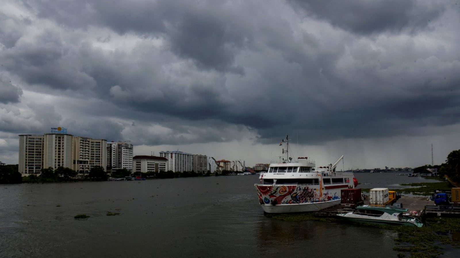
On October 26, 2026, a deep depression in the Bay of Bengal began to take shape, marking the early stages of what would become Cyclone Arnab. Meteorologists closely monitored the system, noting its potential to intensify into a severe cyclonic storm. The Indian Meteorological Department (IMD) issued a red alert for coastal areas of Andhra Pradesh and Odisha, warning of heavy rainfall and strong winds.
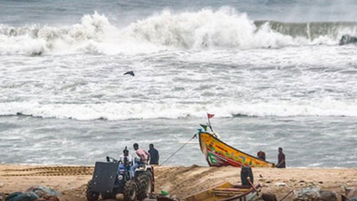
By the evening of October 26, the depression had intensified into a severe cyclonic storm, named Arnab by the IMD. The cyclone was expected to make landfall near the Visakhapatnam coast by October 28, bringing with it sustained winds of 115–125 kmph and gusts of up to 140 kmph. The IMD forecast heavy to very heavy rainfall in Andhra Pradesh, Odisha, Telangana, Chhattisgarh, and West Bengal over the coming days.
In response to the impending storm, authorities in Andhra Pradesh and Odisha took swift action. The Andhra Pradesh government issued a red alert, urging residents in coastal districts to take necessary precautions. The Odisha government, meanwhile, banned fishing in the sea and restricted tourist entry into six districts to ensure public safety. Visakhapatnam, a major port city, braced for the storm, with local authorities issuing warnings and preparing emergency services.
These areas, known for their fishing communities and coastal infrastructure, were particularly vulnerable.
While the cyclone was expected to cause significant disruption in Andhra Pradesh and Odisha, the impact on Tamil Nadu was expected to be less severe. The Tamil Nadu Public Works Department (PWD) issued a statement, advising the public not to go to the sea and to follow government and meteorological department advisories. The IMD forecast suggested that the cyclone would not cause severe damage to Tamil Nadu, with heavy rainfall expected in coastal districts but not enough to trigger major flooding or infrastructure damage.
Visakhapatnam, located approximately 650 km from the cyclone’s position, was particularly vulnerable. The city’s port, one of the largest in India, faced the threat of storm surges and strong winds. Local authorities in Visakhapatnam worked closely with the IMD to monitor the cyclone’s progress and prepare for its landfall. The port authorities issued a series of advisories, urging ships to leave the harbor and take shelter in safe locations. The city’s emergency services stood ready, with teams on standby to respond to any incidents that might arise.
The coastal districts of Andhra Pradesh, including Visakhapatnam, faced the brunt of the storm. By the evening of October 27, winds of 90–100 kmph were expected to hit the Krishna and Anakapalli districts. These areas, known for their fishing communities and coastal infrastructure, were particularly vulnerable. Local authorities advised residents to stay indoors and avoid unnecessary travel. The Andhra Pradesh government also set up emergency shelters in schools and community centers, ensuring that those who needed to evacuate could do so safely.
Odisha, another state in the path of the cyclone, took similar measures to ensure public safety. The Odisha government banned fishing in the sea and restricted tourist entry into six districts. These measures were aimed at minimizing the risk to fishermen and tourists, both of whom were particularly vulnerable to the storm’s effects. The government also issued advisories to local authorities, urging them to prepare for potential flooding and landslides. The IMD’s forecasts suggested that Odisha would experience heavy rainfall, but the extent of the damage was expected to be manageable with the precautionary measures in place.
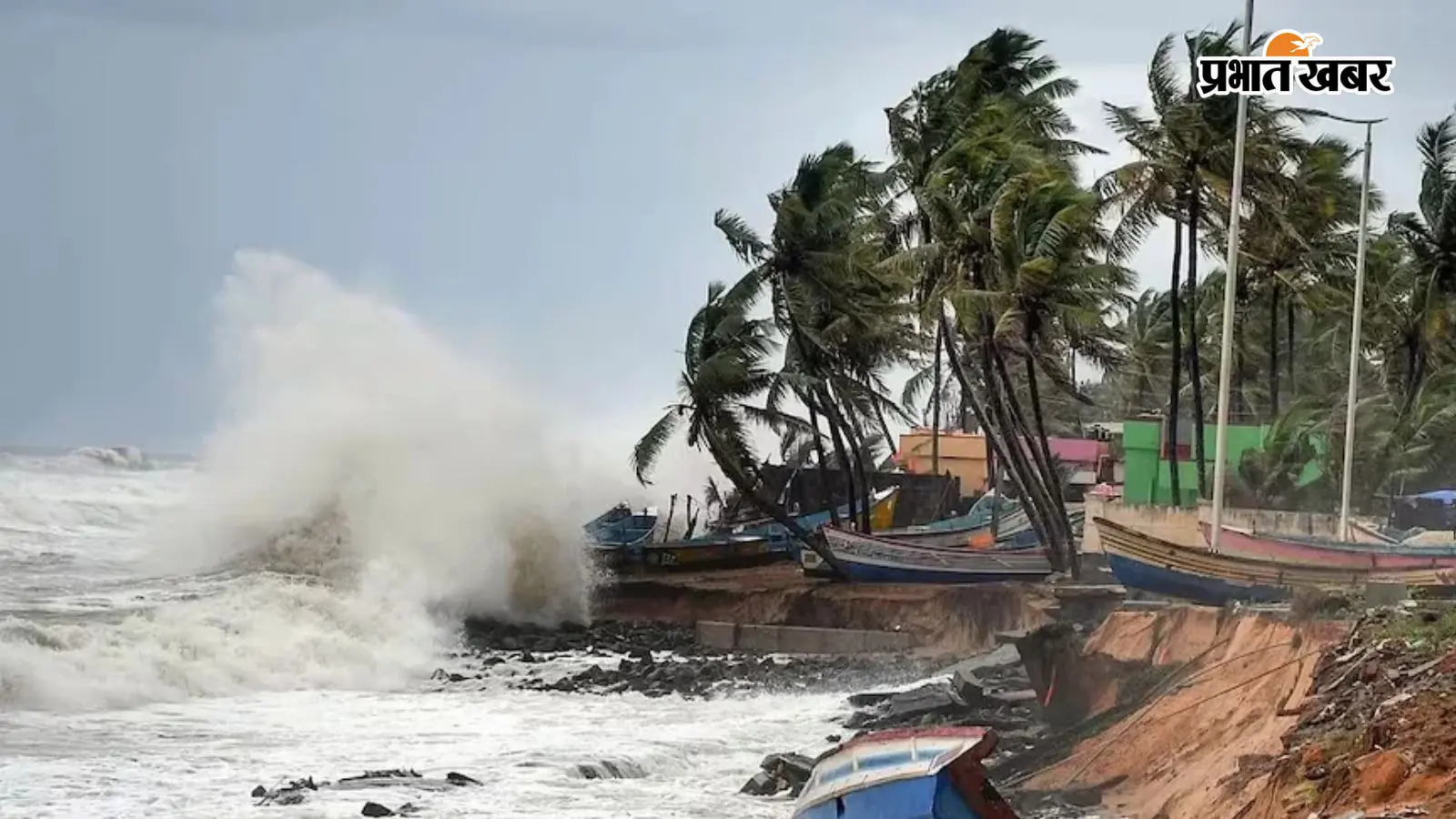
Cyclone Arnab continued to intensify as it moved towards the eastern coast of India. By October 28, it was expected to make landfall near the Visakhapatnam coast, bringing with it the strongest winds and heaviest rainfall. The IMD’s forecasts indicated that the storm would weaken slightly as it moved inland, but the coastal districts of Andhra Pradesh and Odisha would still face significant challenges. The government’s preparedness and the public’s response to the warnings would be crucial in determining the extent of the damage.
As Cyclone Arnab approached the eastern coast of India, the region braced for its impact. While Andhra Pradesh and Odisha faced the brunt of the storm, Tamil Nadu remained relatively unscathed. The Indian Meteorological Department and Tamil Nadu PWD advised the public to follow government advisories and stay safe. The storm’s path and intensity were closely monitored, with local authorities and emergency services on high alert. The coming days would reveal the full extent of the cyclone’s impact, but the region’s preparedness offered hope for a safer outcome.